Trinity River Corridor in Dallas: Parks, Trails, and Resilient Design Redefining Outdoor Life
Why the Trinity River Corridor is redefining Dallas’ outdoor life
Dallas’ urban identity is evolving around a single natural spine: the Trinity River Corridor. Once overlooked and underused, this corridor is now central to the city’s push for more green space, better connectivity, and resilient infrastructure—turning floodplain and freeway edges into parks, trails, and places people actually want to spend time.
What’s changing along the river
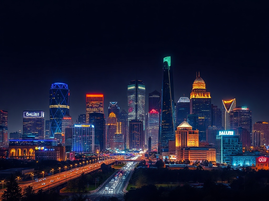
The corridor links neighborhoods, parks, and cultural destinations. Signature pieces—like the sculptural bridge that frames the downtown skyline—act as anchors, while pockets of new development and activated riverfront bring restaurants, art galleries, and public programming closer to the water. At the same time, extensive trail networks and bike lanes are making it easier to commute, exercise, or simply stroll from one neighborhood to the next without relying on a car.
Nature and infrastructure working together
A key benefit of the corridor approach is balancing recreation with flood management and habitat restoration. Naturalized wetlands, engineered floodplains, and native plantings help control stormwater while creating habitat for migratory birds and urban wildlife. Urban planners and community groups are pushing for multi-use spaces that can absorb high-water events yet remain inviting during dry weather—ideal for picnics, birdwatching, and outdoor fitness.
Recreation for all kinds of users
The Trinity’s trail system serves runners, cyclists, and walkers with long, connected routes that reach far beyond the downtown core. Kayak and paddleboard launches invite water-based recreation where conditions allow, and several parks provide playgrounds, sports fields, and picnic areas. For those who prefer culture over cardio, river-adjacent neighborhoods host markets, seasonal events, and outdoor art installations that keep the calendar busy through warm seasons.
Community and economic impact
Public-private partnerships are playing a big role in turning riverfront acreage into active spaces. Small businesses, restaurants, and creative studios are finding value in river proximity, attracting both locals and visitors. Affordable housing advocates and neighborhood organizations are watching development closely to ensure benefits reach long-term residents and that new amenities don’t just lead to displacement.
Tips for exploring the corridor
– Start at a well-marked trailhead that connects to public transit or ample bike parking. Many access points are bike- and stroller-friendly.
– Bring water and sun protection; much of the riverfront is open and can get hot.
– Check local updates before heading out—some launch sites and trails may be closed for maintenance or seasonal flooding.
– Support nearby small businesses: grab a coffee or a meal at a river-adjacent café to help keep the corridor lively.
– Use binoculars or a phone app to identify birds and plants; the corridor is a surprisingly rich urban wildlife corridor.
What to watch for next
Expect continued expansion of trail connections, more programmed public spaces, and ongoing habitat improvements.
The corridor represents a long-term investment in livability and resilience, and its success depends on thoughtful design, community input, and policies that promote equitable access.
Whether you’re a daily commuter, weekend paddler, or someone who enjoys finding new parks near the city, the Trinity River Corridor is increasingly the place to experience Dallas outdoors—where urban energy and natural systems meet to create lasting civic value.